Take a photo of a barcode or cover

192 pages • missing pub info (view editions)
ISBN/UID: 9780935702415
Format: Paperback
Language: English
Publisher: University Science Books
Edition Pub Date: 30 July 1997

Description
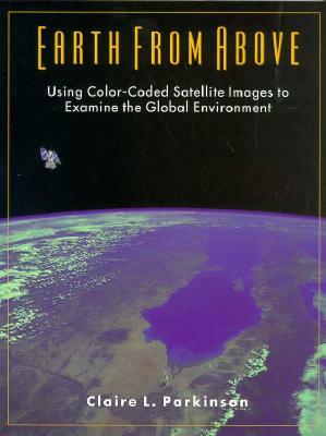
This text aims to familiarize the uninitiated with satellite data and with the reading of colour-coded satellite images of the Earth. It gives a sense of how the raw data is converted into information about the Earth and the atmosphere, and shows ...
Community Reviews

Content Warnings


192 pages • missing pub info (view editions)
ISBN/UID: 9780935702415
Format: Paperback
Language: English
Publisher: University Science Books
Edition Pub Date: 30 July 1997

Description
This text aims to familiarize the uninitiated with satellite data and with the reading of colour-coded satellite images of the Earth. It gives a sense of how the raw data is converted into information about the Earth and the atmosphere, and shows ...
Community Reviews

Content Warnings
