Take a photo of a barcode or cover

304 pages • first pub 2013 (view editions)
ISBN/UID: None
Format: Not specified
Language: English
Publisher: Not specified
Edition Pub Date: Not specified

Description
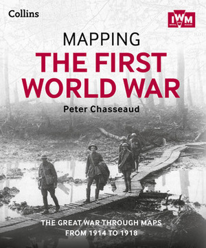
Follow the conflict of the World War 1 from 1914-1918 through a unique collection of historical maps, expert commentary and photographs. Published in association and including mapping from the archives of the Imperial War Museums.Ebook best viewed...
Community Reviews

Content Warnings


304 pages • first pub 2013 (view editions)
ISBN/UID: None
Format: Not specified
Language: English
Publisher: Not specified
Edition Pub Date: Not specified

Description
Follow the conflict of the World War 1 from 1914-1918 through a unique collection of historical maps, expert commentary and photographs. Published in association and including mapping from the archives of the Imperial War Museums.Ebook best viewed...
Community Reviews

Content Warnings
