Scan barcode

312 pages • first pub 2011 (editions)
ISBN/UID: 9781912716029
Format: Paperback
Language: English
Publisher: Trailblazer Publications
Publication date: 02 July 2019

Description
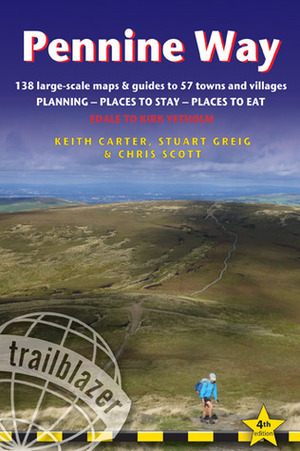
Britain's best-known National Trail winds for 256 miles through three National Parks - the Peak District, Yorkshire Dales and Northumberland. This superb footpath showcases Britain's finest upland scenery, while touching the literary landscape of ...
Community Reviews

Content Warnings


312 pages • first pub 2011 (editions)
ISBN/UID: 9781912716029
Format: Paperback
Language: English
Publisher: Trailblazer Publications
Publication date: 02 July 2019

Description
Britain's best-known National Trail winds for 256 miles through three National Parks - the Peak District, Yorkshire Dales and Northumberland. This superb footpath showcases Britain's finest upland scenery, while touching the literary landscape of ...
Community Reviews

Content Warnings
