Take a photo of a barcode or cover

136 pages • missing pub info (view editions)
ISBN/UID: 9780309130578
Format: Paperback
Language: English
Publisher: National Academies Press
Edition Pub Date: 01 September 2009

Description
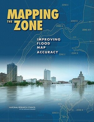
Federal Emergency Management Agency (FEMA) Flood Insurance Rate Maps portray the height and extent to which flooding is expected to occur, and they form the basis for setting flood insurance premiums and regulating development in the floodplain. A...
Community Reviews

Content Warnings


136 pages • missing pub info (view editions)
ISBN/UID: 9780309130578
Format: Paperback
Language: English
Publisher: National Academies Press
Edition Pub Date: 01 September 2009

Description
Federal Emergency Management Agency (FEMA) Flood Insurance Rate Maps portray the height and extent to which flooding is expected to occur, and they form the basis for setting flood insurance premiums and regulating development in the floodplain. A...
Community Reviews

Content Warnings
